Oregonhuntrboi
WKR
- Joined
- Jan 27, 2022
- Messages
- 597
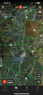
Hello, I drew a high cascade buck tag for Oregon this year. I was wondering if anybody had info of areas to go to get away from people and horse camps ? I’m hoping to backpack into some more remote backcountry areas. Not looking for your “ honey holes” just curious if anybody would be willing to share some pointers ? Also if you have any tips/pointers if anybody has hunter This tag before! I appreciate it!