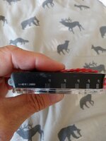
I don't know, but everything about it looks like you are correct. For a 1:24000 map with 40 foot contour, which I assume is a standard USGS quad, the hash marks show the contour spacing for various slope angles. That range (25-45 degrees) is critical for avalanche hazard, so people who travel in that terrain and conditions do a lot of planning around slope angle and its very handy to be able to read off a map. Most mapping software will have a slope angle layer showing that same range in the same 5 degree increments.