USGS maps are public domain and can be downloaded for printing at an office supply store - Staples seems to have some of the best prices. Here is a good article about how to do so. I print mine as Blueprints in full color. You can also add marks to the pdf document prior to printing (notes, landmarks on the map, etc.). Costs just a few dollars per copy and you can usually pick up same or next day.
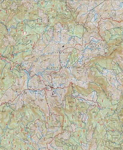
Caltopo.com
I print single maps at home, email them to my local print shop for many pages. Lots of tools you can use. I'm planning to buy waterproof paper, 11"x17", and paint the $50/year to print the bigger pages.
Caltopo.com
I print single maps at home, email them to my local print shop for many pages. Lots of tools you can use. I'm planning to buy waterproof paper, 11"x17", and paint the $50/year to print the bigger pages.
I have done this before but it has been years. the other day i was on the site and couldnt really figure out how to get to purchase the specific are i wanted
USGS maps are public domain and can be downloaded for printing at an office supply store - Staples seems to have some of the best prices. Here is a good article about how to do so. I print mine as Blueprints in full color. You can also add marks to the pdf document prior to printing (notes, landmarks on the map, etc.). Costs just a few dollars per copy and you can usually pick up same or next day.
I have done this before but it has been years. the other day i was on the site and couldnt really figure out how to get to purchase the specific are i wanted
On the left side of the map window, there is a small print icon(it's hard to see). Click that, and a panel will come up with your parameters. You can choose orientation, scale, etc.
On the left side of the map window, there is a small print icon(it's hard to see). Click that, and a panel will come up with your parameters. You can choose orientation, scale, etc.
On the left side of the map window, there is a small print icon(it's hard to see). Click that, and a panel will come up with your parameters. You can choose orientation, scale, etc.
USGS maps are public domain and can be downloaded for printing at an office supply store - Staples seems to have some of the best prices. Here is a good article about how to do so. I print mine as Blueprints in full color. You can also add marks to the pdf document prior to printing (notes, landmarks on the map, etc.). Costs just a few dollars per copy and you can usually pick up same or next day.